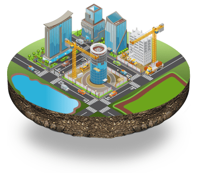
Over the last five decades, Geographic Information System (GIS) has evolved considerably, from a concept to a science and then to disruptive technology to solve real-world problems in a digital-first world. It has taken a pandemic to accelerate the shift to digital, where emerging technologies are catalysts of progress. The digital world is overwhelmed with data. And the data needs to be mined right for actionable insights and outcomes. GIS is unique among digital technologies as it connects data with location, enabling governments to conflate the two for prudent decisions.
.jpg)
It’s interesting to note the emerging use cases of GIS. You have known how governments used GIS technology to track the spike in Covid cases, administer vaccines and collate a wealth of data for efficient pandemic management. Punjab, for example, recently launched the Integrated Road Accident Database (iRAD). It enables the government to initiate ultra-modern technology equipped with GIS maps to reduce road accidents to the minimum level, improve road designs, and identify accidental black spots. And by mid-2022, the BrihanMumbai Municipal Corporation (BMC) is set to introduce a GIS solution to identify and act against illegal encroachments in Mumbai.
GIS as a collaborative tool
GIS is otherwise known as a Geographic Information System, and the map is a visual image of quantitative data. Compared with conventional table maps, a GIS map is powerful and collective. It can expose previously invisible aspects by presenting them and displaying transformations of these features over time, established by the provided characteristics.
As a result, the human eye is keen on responding to various colours and shapes. So, a GIS map generally modifies real-world geospatial data into coloured patterns or shapes. It boosts the refinement of information that leads to rapid and better-knowledgeable resolutions. Using this technology, geographers and other GIS specialists can anticipate a variety of demographics, along with client base sharing and claims for a product or service or other data. GIS maps can be classified as Category Maps, Heat Maps, Bubble Maps, Cluster Maps, and Quantity Maps.
.jpg)
How CSM has used Interactive GIS Mapping
Nowadays, we look at major online maps without pausing to appreciate how collaborative they are. A conventional map can be well-crafted, but it lacks dynamics and is finite in space and times, acting as a fixed photo.
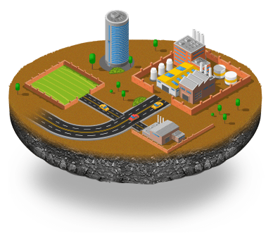
CSM has developed a GIS-based School Mapping System used to map the development of the educational infrastructure of a region and for attendance management with specific inputs to make it work. The GIS module is a highly customizable system used to show the land pool available for a client/customer. Details such as road frontage, corner, Floor Space Index (FSI), setback, and other parameters are mapped on the GIS.
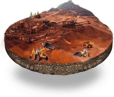
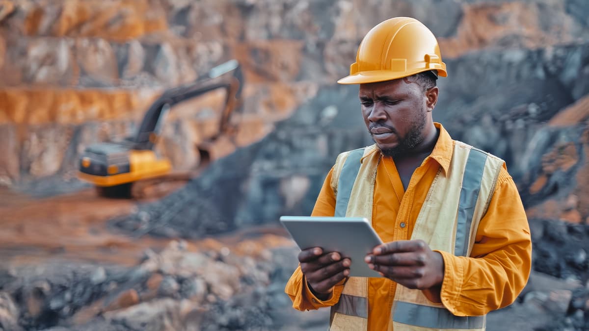
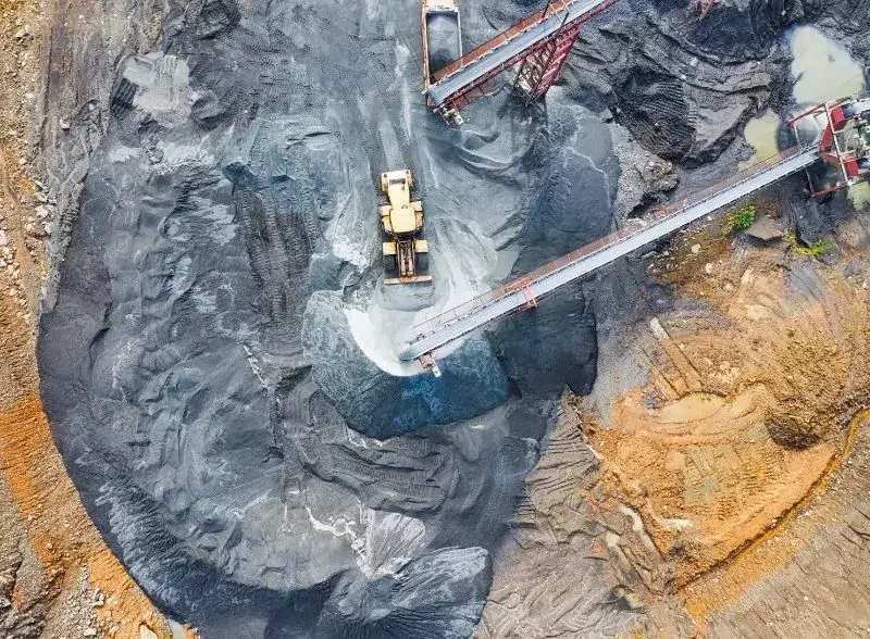
That apart, CSM’s e-LMS is a single-window system that includes advanced GIS tracking features on land information, integrated SMS and email gateways for communicating with applicants instantly on the status of their applications, and an integrated online payment gateway for seamless transactions. And, tracking vehicles via 100 per cent GPS installation and by geo-fencing routes has drastically reduced pilferages. This is installed for proficiency and clarity in mining industries.
Moving beyond Traditional GIS Applications
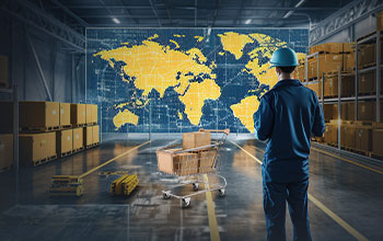
It’s relatively easy to see how GIS technology is transforming the supply chain and asset management and how GIS is essential to cartography and modern maps. With the rising acceptance and use of Augmented Reality (AR) and Virtual Reality (VR) in the consumer world, the use cases for leveraging 3D GIS will continue to grow.
The most significant trends in GIS technology are centered on making data more accessible and creating context to visualize this data when a quick and effortless key to information is taken for granted.
Future of GIS
The future of GIS looks very optimistic. It’s poised for even wider adoption than we have seen in recent decades, as more organizations learn how much business value can come from geospatial data. As the trends like data analytics, mobility, AR, and IoT (Internet of Things) continue to take off round the world. Don’t be stunned if GIS paired with niche technologies transforms the way governments or enterprises run and deliver outcomes.




























We will verify and publish your comment soon.