


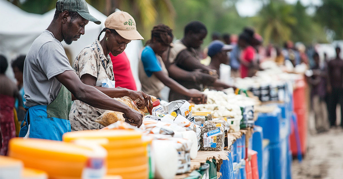
Land is more than just soil and boundaries; it is a foundation of identity, economic opportunity, and national stability. In Africa, where over 60% of the population depends on agriculture for their livelihoods, secure access to land is vital. Yet, according to the World Bank, more than 90% of rural land in sub-Saharan Africa remains undocumented or held under informal tenure. This lack of formal land records fuels disputes, hinders investments, and restricts the ability of governments to plan effectively. As African nations embrace digital transformation and push for inclusive development, a transparent, data-driven approach to land governance becomes increasingly urgent. This is where an Integrated Land Management Information System (ILMIS) emerges as a transformative tool.
What is ILMIS?
An ILMIS is a digital platform that consolidates all land-related processes into a unified system, such as registration, valuation, surveying, planning, and titling. Traditional land management in many African countries is fragmented, paper-based, and prone to inefficiencies and corruption. The ILMIS revolutionizes this landscape by introducing transparency, efficiency, and a citizen-centric model. It transforms land administration into a streamlined digital ecosystem serving governments, investors, and citizens.
One of the most powerful outcomes of ILMIS in Africa is its potential to reduce land disputes, a significant barrier to development across the continent. In countries like Kenya, Nigeria, and Uganda, overlapping claims and undocumented land use often lead to conflict. By digitally storing ownership records and transaction histories, ILMIS ensures that every parcel of land is traceable and verifiable. This fosters public trust, reduces litigation, and promotes peace in areas with a history of land-related conflict.

Empowering African Governments with Real-time Data
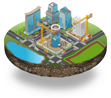
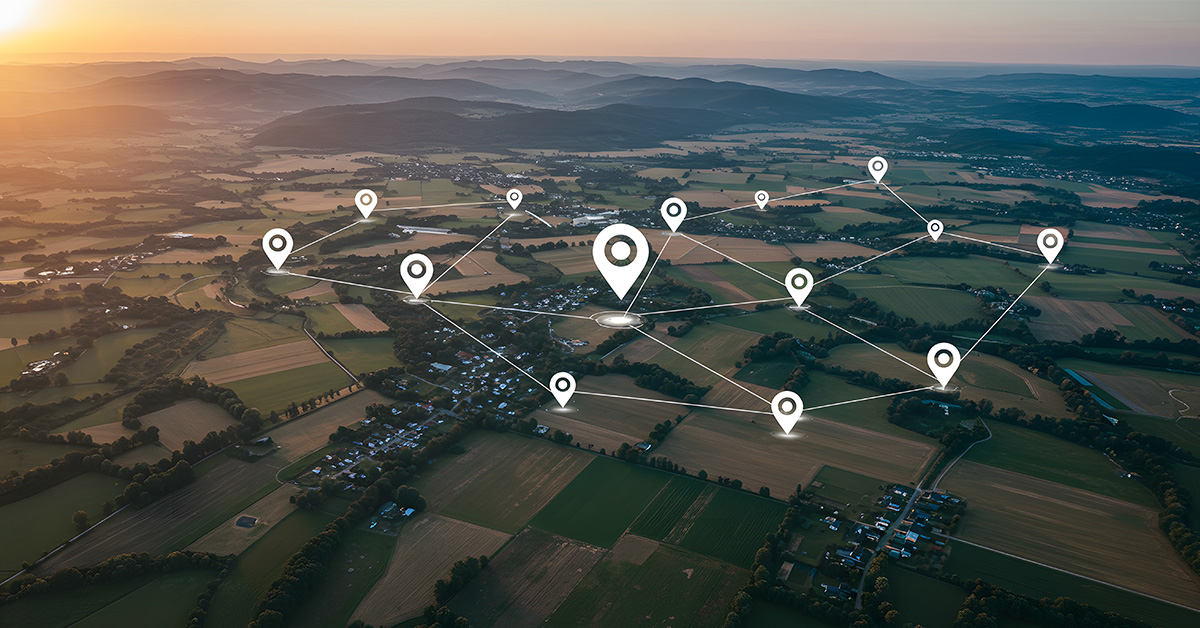
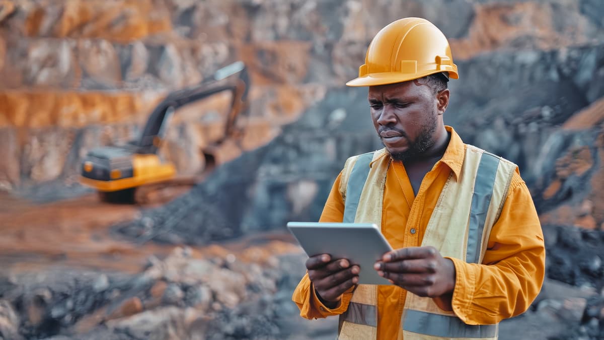
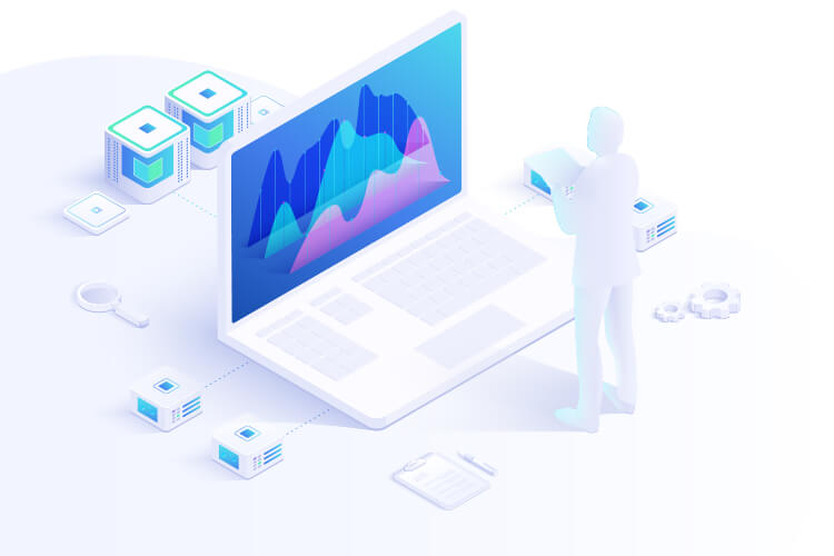
Governments across Africa face land use planning, taxation, and environmental management challenges due to the absence of accurate land data. ILMIS provides real-time insights into land ownership patterns, usage, and valuation. Integrated with Geographic Information Systems (GIS), it enables data visualization that aids in urban development, infrastructure planning, and environmental conservation. For instance, city planners in Nairobi or Accra can identify underutilized land for housing projects, while conservationists can track encroachments in protected areas.
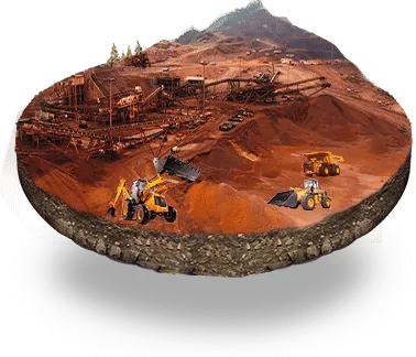
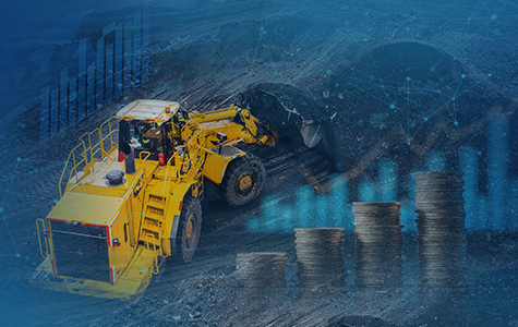
Economic growth in Africa is closely tied to land. Secure land tenure backed by a reliable digital system boosts investor confidence and enables access to credit. For smallholder farmers, having a formal land title opens up opportunities for bank loans, leading to improved agricultural productivity. In Rwanda and Tanzania, where ILMIS has been implemented, land-related revenues have increased significantly due to better tax compliance and fewer leakages in land transactions.
Bringing Services Closer to Citizens
One of ILMIS's most significant advantages is the democratization of land services. Through online portals and mobile apps, African citizens can apply for land titles, track applications, and access cadastral maps without navigating bureaucracy. This digital accessibility primarily benefits women and marginalized communities, who are often excluded from land ownership. Protecting all land rights promotes inclusion and strengthens the social fabric.
Despite its benefits, ILMIS implementation in Africa comes with challenges. These include digitizing historical land records, harmonizing overlapping jurisdictions, ensuring data privacy, and building institutional capacity. Successful implementation requires political will, strong leadership, inter-agency coordination, and citizen engagement. Public awareness campaigns are crucial to fostering trust and encouraging formal land registration.
The Future of Land Governance in Africa
The future of land governance in Africa lies in integration and innovation. ILMIS is a technical tool and governance reform that fosters equity, transparency, and resilience. As African nations work toward achieving the Sustainable Development Goals (SDGs), ILMIS is a foundational digital infrastructure supporting climate resilience, food security, and urban development.
Conclusion
Land is one of Africa’s most valuable assets. The continent must move from fragmented, opaque systems to transparent, integrated digital frameworks to unlock its full potential. The Integrated Land Management Information System is the key to this transformation, empowering citizens, enabling governments, and accelerating inclusive development in the digital age.
The UIIDP (Urban Institutional & Infrastructure Development Program) directly supports the government program and forms a core part of the existing intergovernmental fiscal architecture. By creating well-functioning and productive urban centers, the CSM Tech’s UIIDP contributes to the World Bank’s twin Sustainable Development Goals (SDGs) of ending extreme poverty and boosting shared prosperity. The application would help realize the goals by reinforcing the urban institutional framework and improving performance outcomes. CSAM (CSM Technologies Conceptual Solution Architecture Model) provides a shared high-level vision of the business solution developed and delivered to the Ministry of Urban Development and Construction, Ethiopia.
This section presents the proposed UIIDP MIS Design (Thematic Area-based) illustrated in the Concept and Preliminary design, broken down to the lowest descriptive detail in terms of module objective, proposed functionality based on each Thematic Area business process, and Module data interactions/ interdependencies.

Recent Publications


- Agriculture
- AgriTech
- Application Development
- Artificial Intelligence
- Blockchain
- COVID-19
- CSM Editorial
- Data Analytics
- Digital service
- Digital Transformation
- Education
- EduTech
- Emerging Technologies
- Enterprise Resource Planning
- Food Security
- Golden Records
- GovTech Solution
- Green Jobs
- Healthcare
- HR Analytics
- Hybrid Work Culture
- Independence Thought
- Industry 4.0
- Innovation
- IT Consulting
- Land & Industry
- Life@CSM
- Memory Lane
- Mines & Minerals
- Mining Technology
- Opinion Piece
- Precision Agriculture
- Smart City
- Social Listening
- Social Media
- Social Registry
- Super Apps
- Tourism
- User Experience
- Web 3.0
- Work Culture


We will verify and publish your comment soon.