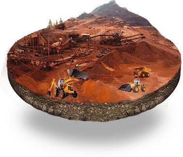
One of the key components of managing a mine is the ability to monitor the various aspects of its operations as well as ensuring that the mines are being run as defined by their lease agreements. The use of IT interventions have managed to make most of these operations seamless and efficient, there are various emerging technologies that can ensure minimal human interventions in conducting periodic audits like land-use patterns, inspections of lease boundaries and managing violations.

The UAV Surveillance system has been built to enable both the mine owners and the administrators to have real-time/automated data available as part of their decision & compliance requirements.

Using UAV Surveillance leads to the following benefits for the end-users

  • Faster Surveys: Compared to conventional survey methods, drones can cover around 20-25 Hectare in half an hour of automated flight. Drones can help in covering huge mines quickly with a minimal amount of manpower and effort.
  • Worksite Visualization: Provide a birds eye view of land use, changes over time and comparative views, enabling the monitoring authorities to take accurate decisions in ensuring the land use norms as submitted in the mining plan is adhered to.
  • Volume Estimation: The visualizations help to check the accurate quantum of extraction as reported in the Mines & Management System. This is a critical aspect of the monitoring system as it has a direct impact on the royalty payable to the government.
  • Lease Boundary Monitoring: Drones offer accessibility to regions which are tough to access manually. Mine lease area can be monitored and inspected with the help of high-resolution videos captured by the drone.

UAV Surveillance is the key to making the entire system fool proof. The visual data, with its high level of accuracy, makes the usability of drone technology and the subsequent analysis of the captured data will open a lot of avenues for mining governance and regulation.

The system is capable of the following functions:

The use of drones or Unmanned Aerial Vehicles (UAV) is at the frontier of mining technology. CSM believes that the best mine management system would not be complete without the addition of technology that would make the process efficient, transparent and cost-effective. In order to bolster the functionalities, UAV monitoring has been added to the suite of products.
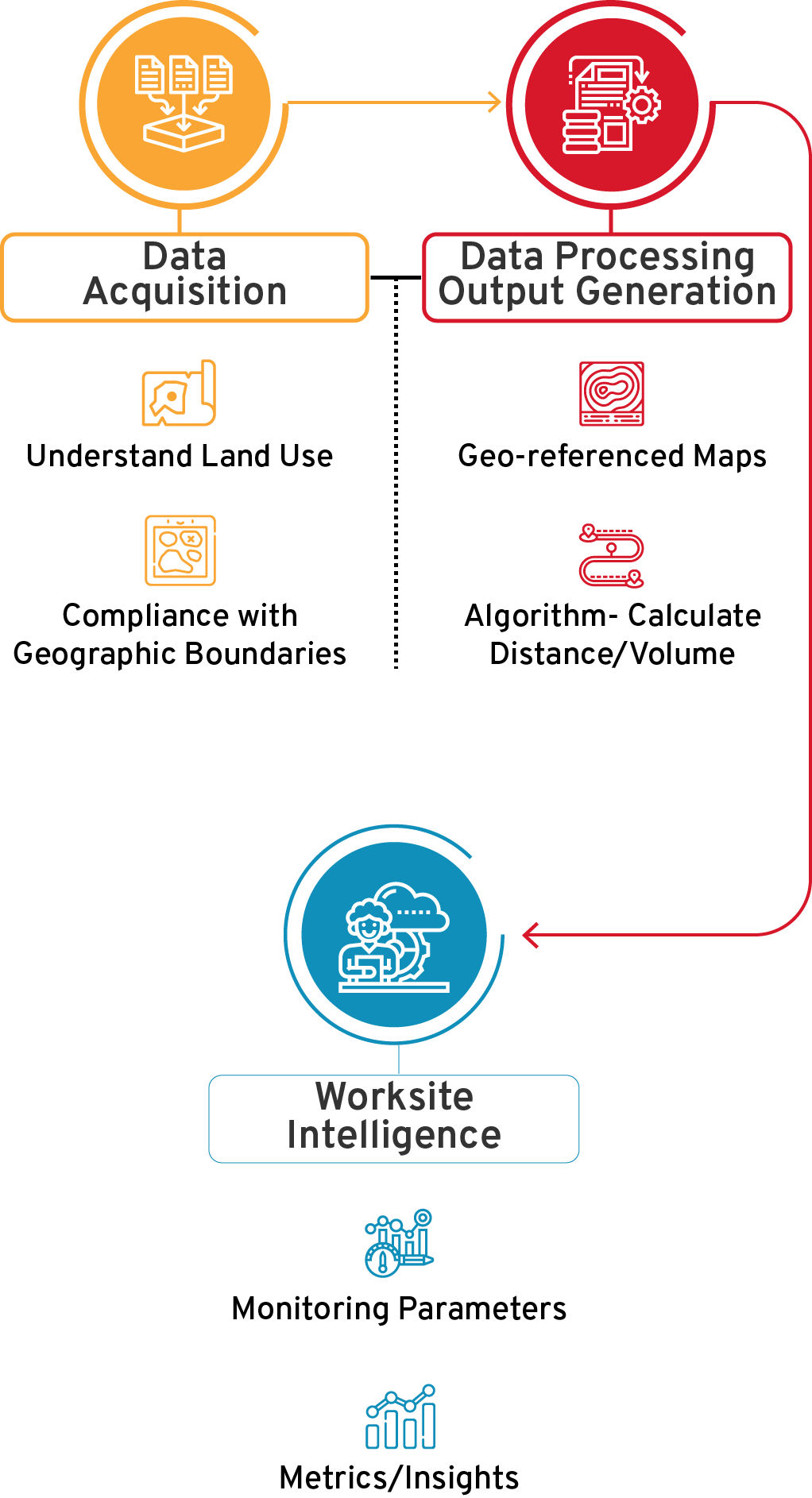
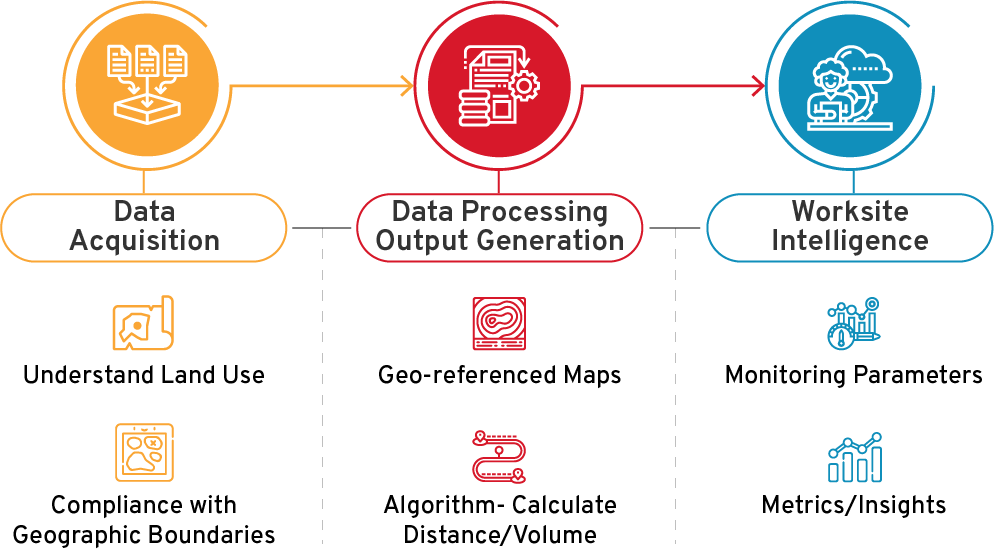
Data Acquisition

Data Acquisition

UAVs can play a critical role in the data acquisition process. Using predefined flight plans, these UAVs can provide high resolution images that can be used to understand land use and compliance with geographic boundaries.

Data Processing and Output Generation

Data Processing and Output Generation

Images captured from the drone along with the control points are used to generate the accurate geo-referenced maps. Using complex algorithms, these data points can be converted to calculate both distance and volumes.

Worksite Intelligence

Worksite Intelligence

The generated outputs are tiled and served online to the user through l Mines & Mineral Management System portal wherein a user can view all the volumes in the stockyard, view the high-resolution drone map with the satellite image in the background. The data can be mapped to the various monitoring parametres and important metrics/insights can be download as and when required.

Subscribe
to our newsletter

Subscribe to have CSM's insights, articles, white papers delivered directly to your inbox. Privacy Policy


Join our exclusive newsletter community on Linkedin